JOURNAL
Creatures of the Lake
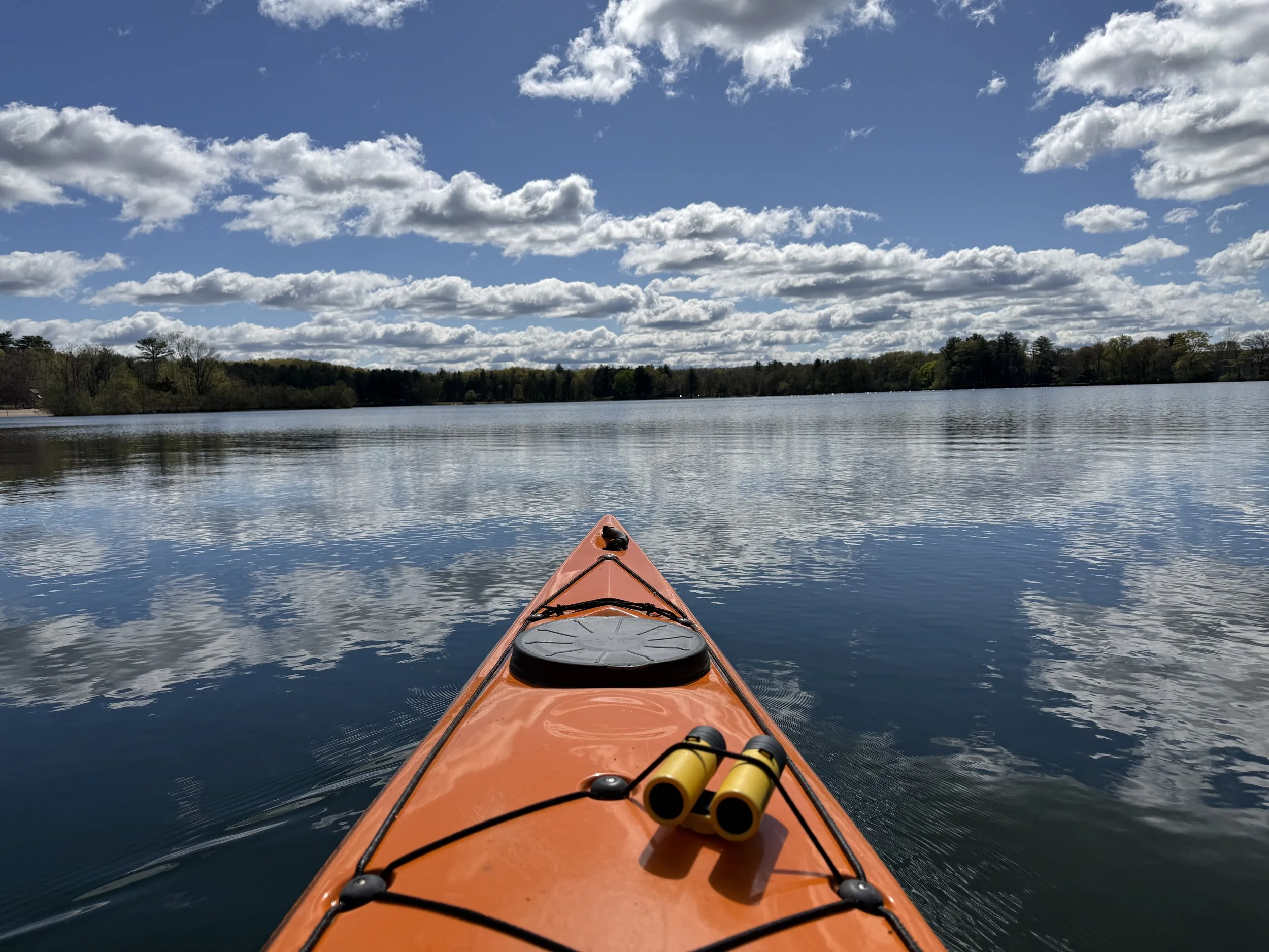
Paddling a canoe or kayak on the lake near my home I come upon birds often, and for many years now. And they usually take flight.
Exploring the Adirondacks
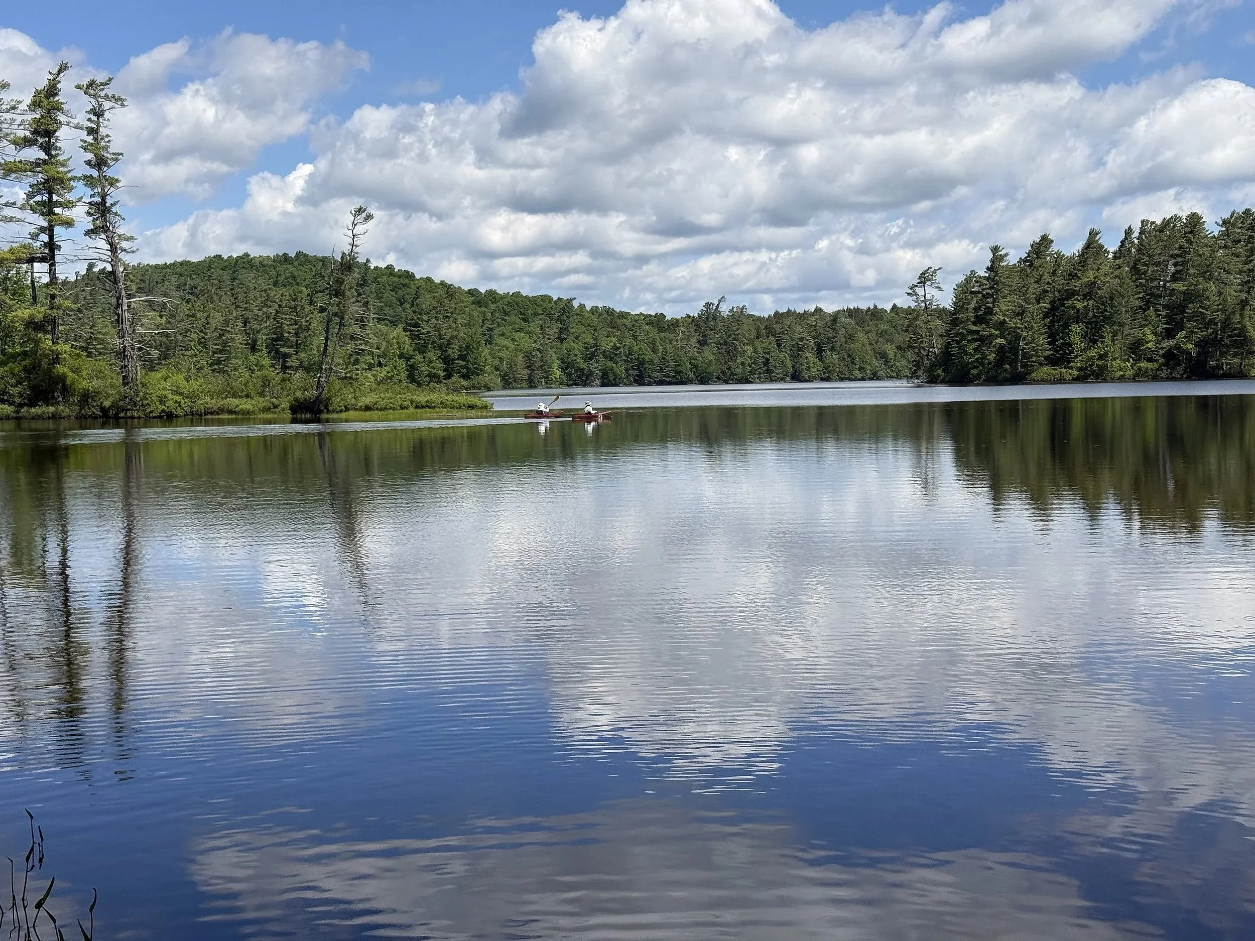
Spent a few days paddling in New York State’s Adirondacks north country. Here, two women in solo canoes paddle on Osgood Pond, a pristine 515-acre body of water. I spent two hours exploring the pond in early morning without seeing another person until I was leaving.
Echoes of Leonardo, Thoreau
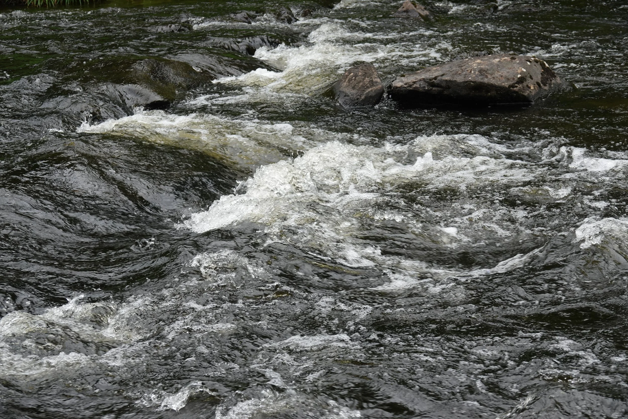
The sound of the Connecticut River might best be described as mellifluous as it flows in extreme northern New Hampshire, where it begins.
Shh. Listen to the Quiet
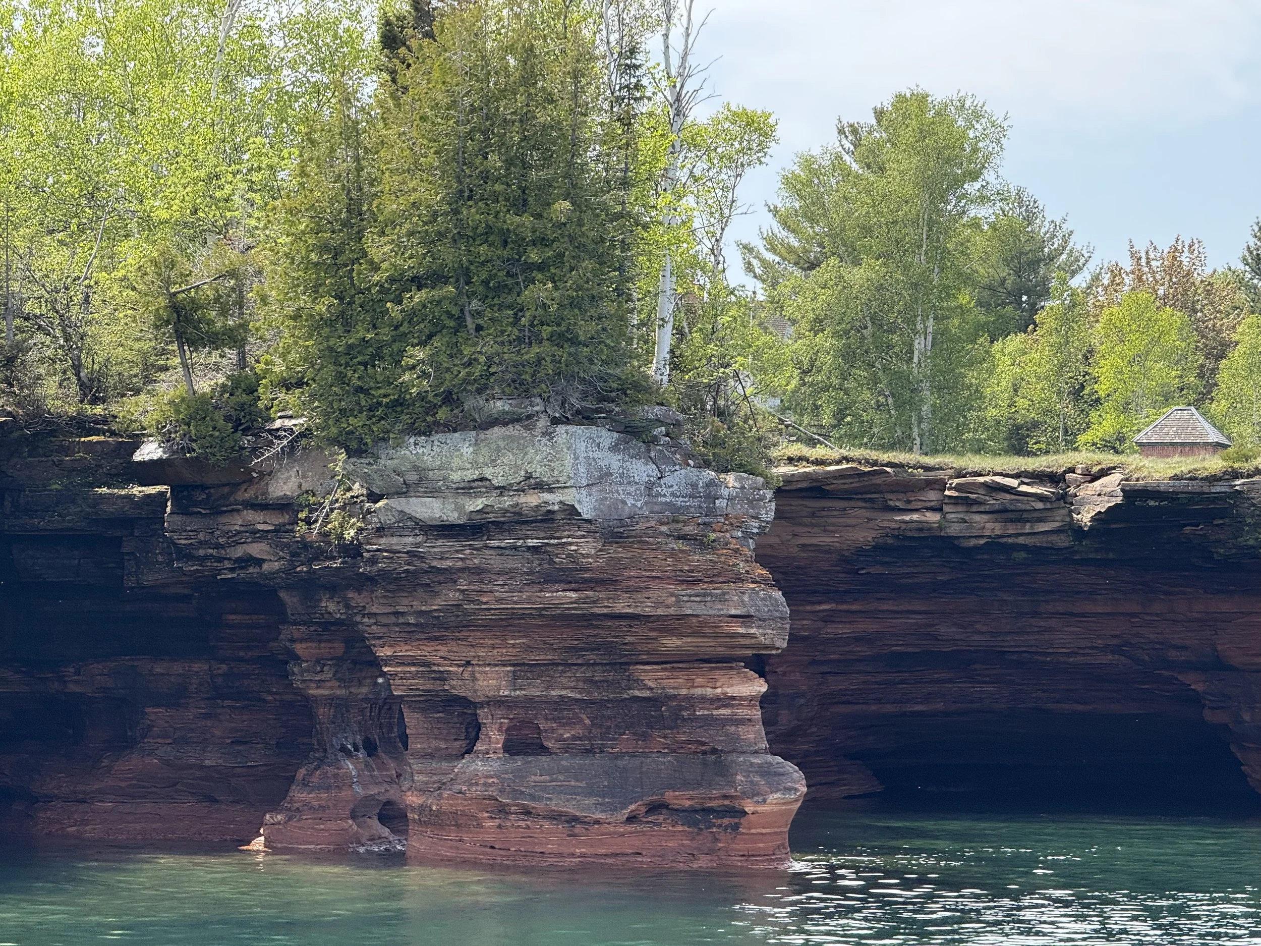
Traveling in the North Woods of Wisconsin and Minnesota, we encountered spectacular eroded rock and caves on Lake Superior, the wildness of Voyageurs National Park and the very beginnings of the Mississippi River.

Cranes and Lanes
Mississippi Sandhill Cranes are a subspecies of sandhill cranes that do not migrate and insist upon a certain longleaf pine savanna habitat that has all but disappeared over the decades. There are only about 200 of these cranes left.

Green Jay? Count It
Dropped into the southernmost tip of Texas to take in some world-class birding that included sightings of some tropical species found nowhere else in the U. S., including the green jay.

A Pocket of Precious
In the Berkshire Range of western Massachusetts is a tiny gem of a preserve, a rare stand of old-growth forest called Ice Glen that includes enormous old hemlock and white pine trees.

Joshua Tree National Park, California
Joshua Tree National Park in California is a virtual museum for this most unusual tree species that can survive the harsh conditions of the Mojave Desert

A species-rich Florida habitat
Longleaf pine savanna, one of the most biologically diverse ecosystems in North America, once covered millions of acres in the southeastern U. S. from Virginia to Texas, but much of it is gone because of development, fire suppression practices and timber harvesting.

Denali Denial
The grand mountain known simply as Denali is the highest peak in North America, at 20,310-feet-elevation, capable of often creating its own weather. I spent 8 days in Alaska’s Denali country and the mountain kept its majesty to itself.
A canoe returns some of the buoyancy of life.
— Edwin Way Teale, late 20th-Century Connecticut naturalist and author, from “Circle of the Seasons”